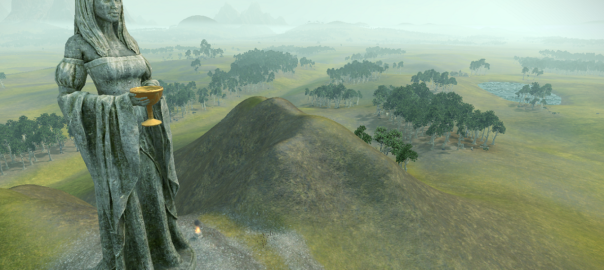
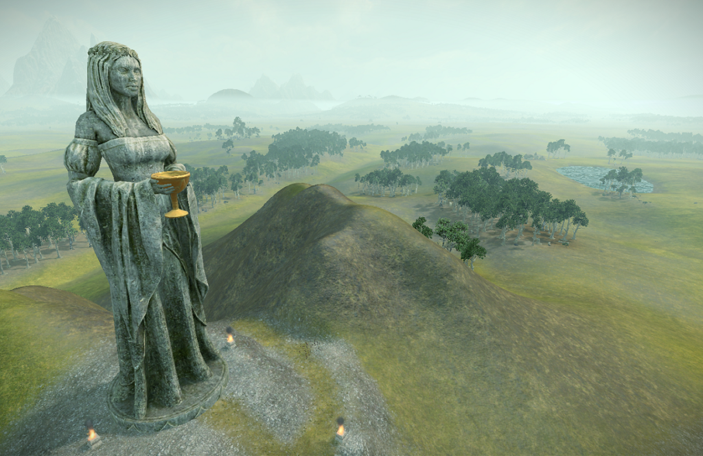
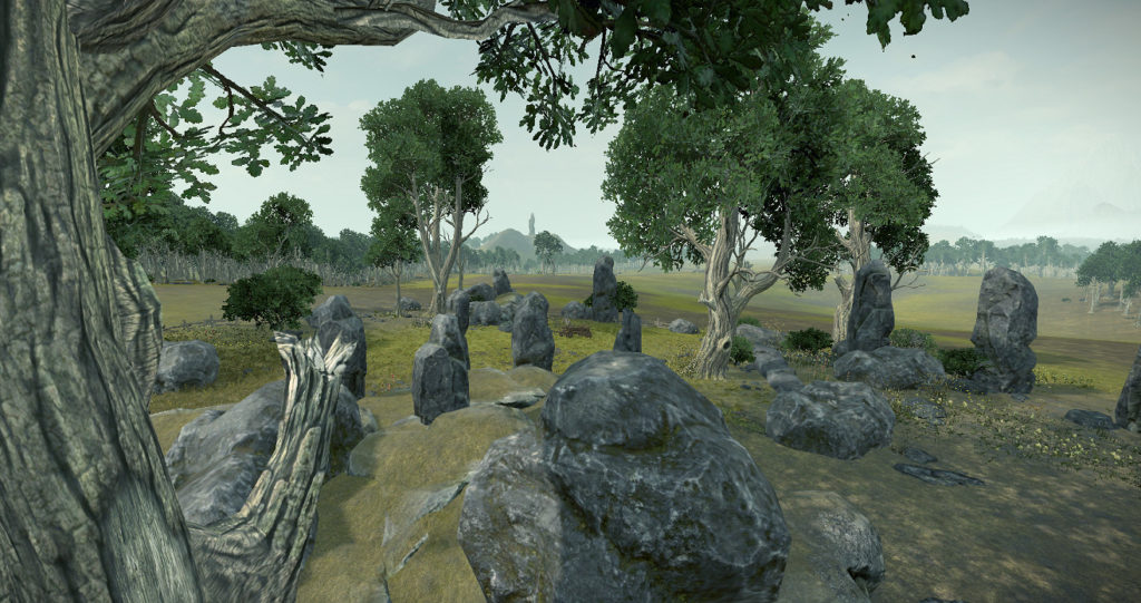
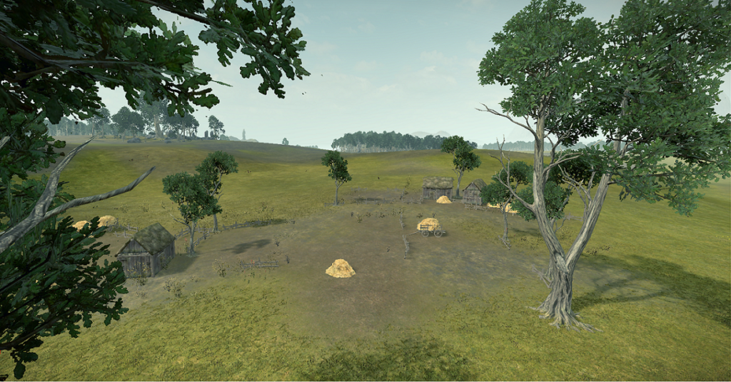
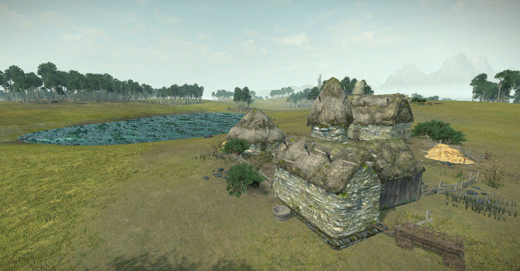
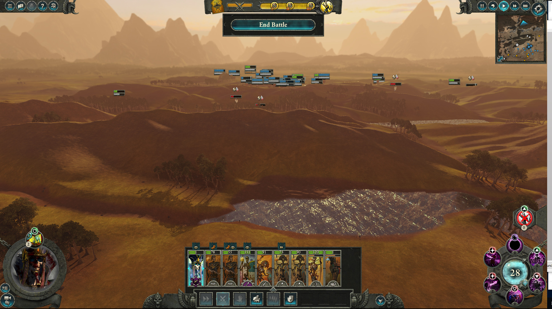
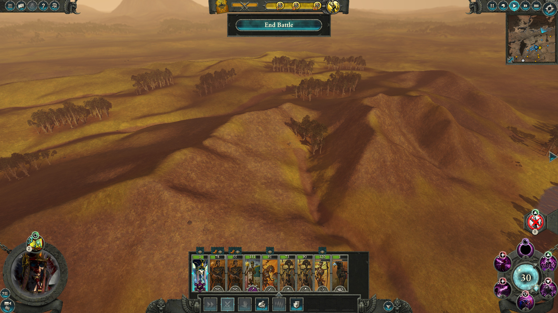
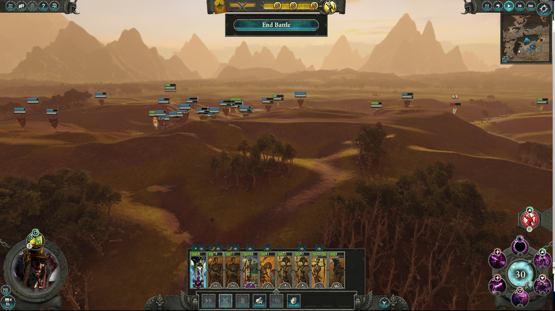
Using Warhammar 2’s Map Tool Terry I’ve recently published Bretonnia Hills V1, a map for Warhammer Total War 2. I did this to practice my map development skills of using height maps, sculpting terrain, painting textures, and placing meshes. It’s on the Steam Workshop – so check it out here!
Development
The bones of this kind of map is its terrain. To start with a solid foundation I began by finding a height map to apply to the terrain. Ultimately I chose data from a location near Trout River in Vermont.
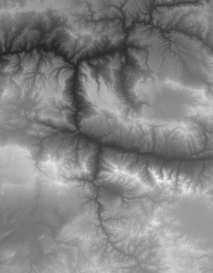
Next I obtained the height map data, processed, and imported into the map editor tool Terry.

Following this I smoothed out some areas, and did a first pass on painting.

Next I found some areas I thought to be interesting and added some meshes from Warhammer 2’s library to add some points of interest. Meanwhile I playtest the map, and made iterative changes to the configuration of the start point, and geographical features.
After a number of iterations I then posted the map on the Steam Workshop, and presented it to the map makers at the Warhammer Map Makers Discord Channel. The Warhammer Map makers gave me some great feedback, and rightly pointed out the map needs more polish work.
I released the bones of the map, which in itself needs more work having very little work in terms of detailing, and extensive playtesting. The detail work will make some good practice so I intend to do more on that side, and post some updated screenshots!
